Cycling loop - From Lac de Chevelu to Mont Tournier
Add to my favorites

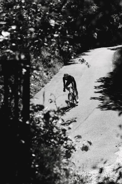
Ride in a majestic setting of lakes, lush green landscapes and breathtaking views of Mont du Chat.
The characteristics of the route.

Nances (73)
- Distance 57.8 km
- Elevation gain 1210 m
- Elevation lost 1210 m
- Min. elevation 226 m
- Max. elevation. 665 m
- Duration (depending on pace) 4h
- Marking No
From the Maison du Lac, climb towards Nances, where you'll head due north to the foot of the fearsome Relais du Mont du Chat.
Don't panic: your route will take you in the more "rolling" direction of Lac de Chevelu. In splendid surroundings, you'll reach Yenne before tackling the most difficult part of the route: Mont Tournier. 10.5 km at 5.5% average gradient. A little-frequented pass with a wooded summit at 820 m altitude.
You then descend from Sainte Marie d'Alvey to the foot of the Col de la Crusille (2 km at 6%).
The final descent takes you back to the shores of Lac d'Aiguebelette.Good plans : The variant avoiding the Mont Tournier pass via Gerbaix offers a 58 km loop with 1,200 metres of d/+.Admission fee : Free access.Opening : All year round daily.
Report a problem
Add your time and share your feelings
Services nearby

Rental of mountain bikes
Nances
Via ferrata equipment rental
Nances
Pleasure boat rental (Vertes Sensations)
Nances
Electrically-powered mountain biking around Lac d'Aiguebelette
Nances
Water craft hire (Vertes Sensations)
Nances


Information updated on 2025-08-20 by Office de Tourisme Lac d'Aiguebelette


 Espace outdoor du Lac d’Aiguebelette - Parcours - Cycling loop - From Lac de Chevelu to Mont Tournier
Hello, world! This is a toast message.
Espace outdoor du Lac d’Aiguebelette - Parcours - Cycling loop - From Lac de Chevelu to Mont Tournier
Hello, world! This is a toast message.
Espace outdoor du Lac d’Aiguebelette - Parcours - Cycling loop - From Lac de Chevelu to Mont Tournier
Hello, world! This is a toast message.


OK
Annuler