La Combe du Grenand
Add to my favorites

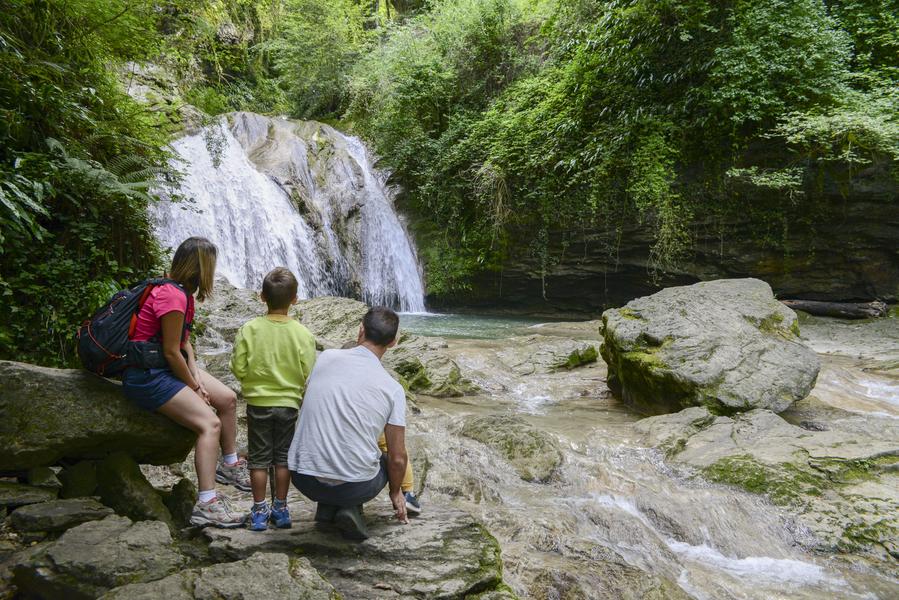
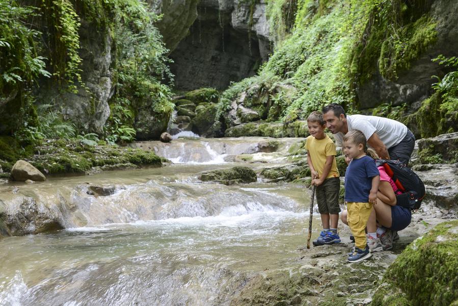
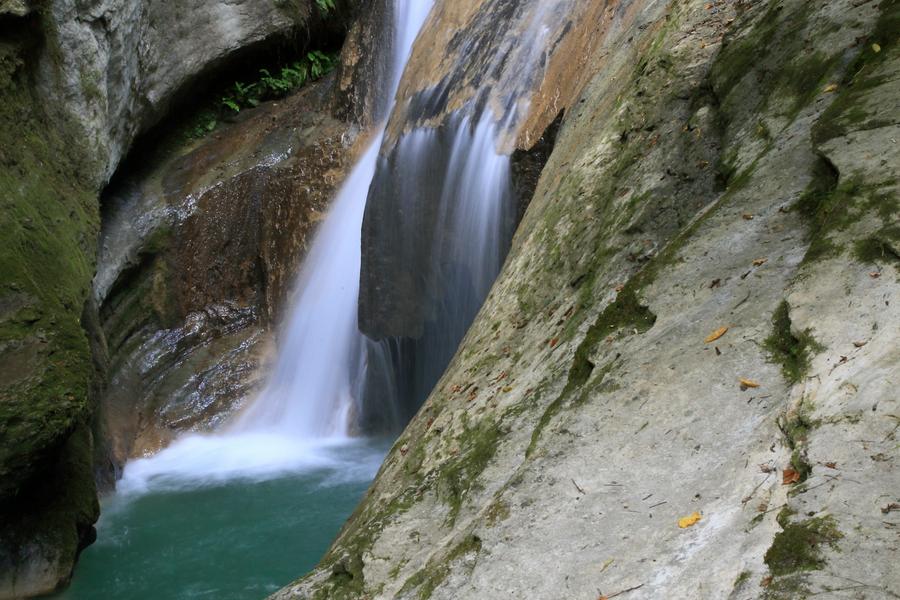
The trail "The valley of Grenand" takes you to the discovery of the river erosion, gorges, giant pots and waterfalls. The small loop is equipped with educational terminals and to discover the work of water.
The characteristics of the route.

La Bridoire (73)
- Distance 3.78 km
- Elevation gain 210 m
- Elevation lost 210 m
- Min. elevation 264 m
- Max. elevation. 472 m
- Duration (depending on pace) 1h30
- Marking Yes
Marking : The Grenand Comb : The trail leaves from behind La Bridoire Church and follows the route of the GR9 (white and red). After a steep climb to Les Roches, leave the GR9 to go right. The trail marked in yellow crosses a chesnut tree wood then follows a small, country road to come back to the departure point.Equipments : Parking nearby, Opening : All year round daily.
Report a problem
Pdf file
Add your time and share your feelings
Services nearby

Fishing: permits, hire of small craft
Lépin-le-Lac
Vivre à vélo
Lépin-le-Lac
Giant City Le Pont de Beauvoisin
Le Pont-de-Beauvoisin
Plage du Sougey : locations nautiques
Saint-Alban-de-Montbel
Boat rental at Aiguebelette-le-Lac Leisure base
Aiguebelette-le-Lac


Information updated on 2025-08-14 by Communauté de Communes Val Guiers


 Espace outdoor du Lac d’Aiguebelette - Parcours - La Combe du Grenand
Hello, world! This is a toast message.
Espace outdoor du Lac d’Aiguebelette - Parcours - La Combe du Grenand
Hello, world! This is a toast message.
Espace outdoor du Lac d’Aiguebelette - Parcours - La Combe du Grenand
Hello, world! This is a toast message.


OK
Annuler